
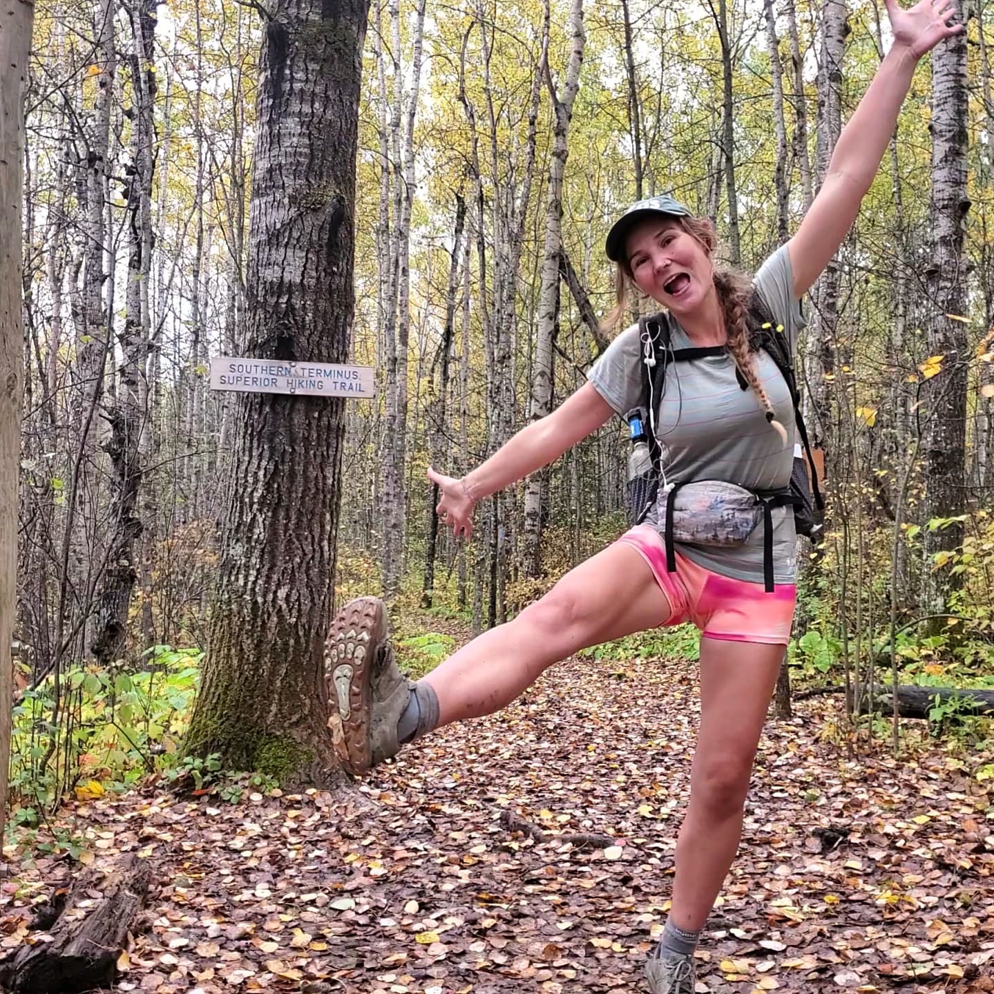
Cuba to Chama, the Last Leg of New Mexico
- Savannah Robinson
- Jun 14, 2023
- 11 min read
Days 29 - 34
June 10 - 15, 2023
Miles 528.3 - 676.4

Just as I walked into Cuba, NM on a paved road, so I walked out of it. 5 miles of pounding pavement brought me from town back to a dirt trail. There were recent stories of loose dogs in this section going after hikers and even biting them. Thankfully I did not encounter any of these dogs. The only exciting thing in this small stretch for me was a truck that drove by and a guy stuck his head out of the window and shouted to me "You got this!" Do I? Do I got this? The CDT is hard. Much harder than the other trails I've hiked. I'll keep going for now and just see where it takes me.

Leaving the pavement and entering Santa Fe National Forest, I started hiking up into the mountains. The trail was all uphill and I followed the switchbacks to the top of the ridge. As I gained elevation, everything became so green. Pines and deciduous trees, grassy meadows, fields of blooming flowers surrounded the trail. And water. There was so much water. Too much water actually. I spent a good amount of time stepping carefully or looking for a dry route, but inevitably my feet were quite wet by the end of the day. The recent snowmelt had turned the meadows into bogs and they were impossible to avoid. Sometimes it's easier to just embrace the suck than to fight it.

This section of trail in the San Pedro Parks Wilderness is really popular with people just out for the weekend. I saw a ton of dayhikers, weekend backpackers, car campers, and horseback riders. It's funny how different trail was north of Cuba, NM compared to what it was south of the town. I enjoyed getting to see so many people out on the trail, especially the horses.

While most of the snow had melted out, there were still some small patches here and there that I had to cross. It was the first time my feet touched snow on this trail so far. But these were very infrequent and mostly near the highest elevations of the day. After such a pleasant day of hiking, I made it to the campsite I originally chose for the day. Someone was there with their tent set up already, though. I met Kiwi Legs and chatted with her for several minutes. She was very nice and I enjoyed talking with her. And then, for some unknown reason that I am still wondering about, I said "I'm going to hike a bit more," bid her goodbye, and then kept walking. What just happened? I genuinely don't know why I did that. I was so ready to stop and there was room for several more tents at that site. I frustrate myself sometimes.

So I continued on and searched for a campsite. Except the trail went on a long descent so there were no flat areas. And it was covered in blowndown trees. I even saw a tree fall in clear view from the trail so I knew I absolutely couldn't camp here. I ended up hiking for 2 more hours before I found a decent spot. It was a very beautiful evening through the forest and I even saw another elk bound across trail in front of me, but I was still a little annoyed with myself for not stopping where I had originally intended.

My tent had some light condensation on it the next morning so I let myself sleep in a little in hopes that it would dry out in the warmth of the rising sun. It mostly worked. Trail was incredible again today. It continued to go down in elevation so the vegetation transitioned again slightly to drier adapted plants. I crossed a highway and got my first glimpse of Cerro Pedernal, a narrow mesa that was frequently the subject of Georgia O'Keefe's paintings. Then the trail climbed back up, regaining some of that lost elevation under the heat of the sun. I hiked along the forested mesa before coming to a piped water source. Making my way past the cows, I met a section hiker. We talked for a couple minutes and then I said goodbye and continued on down a dirt road.


I came across a man and a woman carrying some tools like gardening clippers. They were out maintaining a section of trail that is normally skipped by hikers. The trail briefly leaves the flat dirt road, goes down into a small valley, and then very quickly and very steeply, climbs out and rejoins the same road. It's a little silly and most hikers just stick to the road. That's what I was planning to do, but then I met this couple and they heavily hinted that it would mean a lot if I took their route. The section hiker I had just met caught up so we both took the route as the couple watched us go. It was pleasant enough going down. We could tell they had done some good and much-needed maintenence work. And then we got to the climb. It was very steep and the dirt was loose. It took a lot of effort that was made worse by the afternoon heat and I couldn't help curse my luck at running into that couple right when I did. It just felt so pointless as I returned to the road.


The trail went steeply downhill, losing almost 1,000ft in elevation in 1 mile. I took a lunch break at the bottom where the section hiker caught up to me again. He sat down with me and we walked out together. His name was Nate and he was hiking from Cuba to Chama. We walked through Ojitos Canyon. It was exposed scrubby sagebrush habitat again, but surrounded by striking red cliffs. We reached the alternate route that paralleled the Rio Chama and would take us into Ghost Ranch, a retreat and education center where I sent a resupply box. Just a couple miles along the river, we came to a dispersed camping area.

As we looked for a site to set up our tents, a couple of car campers offered us a bunch of their leftover fruits, which I graciously and happily accepted. They also very kindly invited us to join them for dinner. We set our tents up just in time before it started to drizzle rain and went back over to them. It was so much fun hanging out and chatting with these 2 older couples who were out on their annual Chama river trip together. We even did a jigsaw puzzle together. They were all so kind and generous and made sure Nate and I had plenty to eat. Sadly, it got dark and we had to say goodnight. I slept well on a full belly of food that wasn't ramen noodles for once.


I woke up early to the lovely, yet incessant singing of a Western Tanager. It was an easy walk along the road with more great views of the Rio Chama. But then it veered away from the river and I walked across the high desert through the sagebrush. The trail left the obvious dirt road for a jeep track. After crossing a highway, I had to navigate through an abandoned building and nature trail, going over and under several chains across the trail. It was a little strange. Perhaps when this small natural history museum was open it made more sense to cross through it. The trail reappeared and I followed it through tall grass, across a suspension bridge, and into Ghost Ranch. The flies were out and biting this morning. I tried to tell them to stop, but they wouldn't listen to me. I also saw a small rattlesnake who shook its rattles at me, although, despite this, I don't think it wanted to dance with me so I moved on.


I collected my resupply box from the visitor center and hung out for a few hours to charge up my electronics. I sat in a room that played a video about Ghost Ranch and Georgia O'Keefe on repeat. I must have listened to that video over 50 times. I had never much paid attention to O'Keefe, but I think I am now a fan. Arguably due to something akin to Stockholm Syndrome, but tomayto tomahto. She's rad and I like her paintings. Once my things were fully charged and my resupply sorted, I bought an ice cream sandwich and began hiking again.


I walked through more of the ranch. It was a really cool and beautiful place honestly. I passed by the tree where, back in the late 1800's of the Wild West lawlessness, the vigilante locals hung one of the Archuleta brothers after he killed his own brother after they had a dispute over gold. Spooky. I walked down the dirt road past Kitchen Mesa and into Box Canyon. Following the arroyo de yeso through the canyon, I was transfixed by the cliffs surrounding me and this small creek. So transfixed that I missed a turn and had to doubleback.


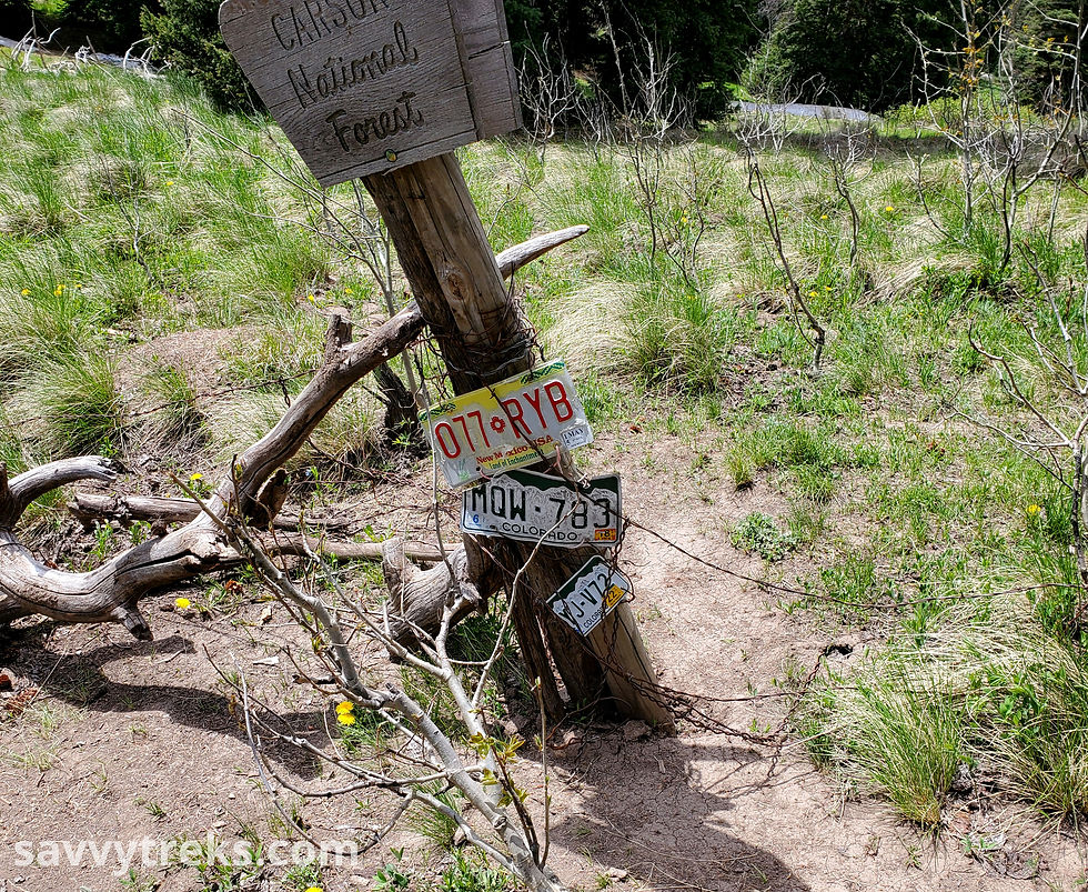
I climbed out of the canyon and to the top of the mesa into Carson National Forest. As I climbed higher, the red rocks began to disappear and more green vegetation dominated. Soon, back at high elevation, I was surrounded again by grassy meadows, wildflower fields, apen groves, and pine forests. I walked along dirt forest roads for a bit before returning to trail. A young bull tried to charge me from behind after I passed him. Don't turn your back on these punks. They think they're tough, but just ask them what they think they're doing and they'll get distracted, stop to ponder life, and forget that they were even trying to chase you.


It felt a little crazy that I went from the hot, dry desert floor to the lush vegetation of the mountains in just a day. I was excited to be up here. I have heard so many good things about the trail north of Cuba and everything I have seen so far has confirmed them. The New Mexico/Colorado border is so close! Just a few more days until I'm there. Just a few more days to enjoy the bliss that is northern New Mexico.

I didn't sleep very well through the night so I let myself sleep in a little since I didn't really fall asleep until just before the sun rose. Just enough rest to hike another day! It was another beautiful day filled with large grassy meadows, wildflowers, cows that questioned my authority, and aspens that caught the sunlight just right. I passed by a lake that was accessible by a road that had a pit toilet. It was honestly a highlight of the day.


The weather was fickle all day. It was mostly sunny, but every few hours storm clouds would form. I got rained on a few times and even got snowed on briefly. I had a few more boggy meadows and snow patches to cross today. I also had to wade through the swift moving Rio Vallecitos and get my feet completely wet.

I encountered some interesting switchbacks today. In the morning, the trail switchbacked several times even though the ground was nearly flat and they were completely unnecessary. Towards the end of the day, the trail made switchbacks up a steep hillside. But they were very poorly made, more S-shaped rather than Z-shaped. Since the turns were so round, the trail still went straight up the hill every time and it defeated the purpose of switchbacks making the trail easier and less prone to erosion. I walked along the top of the ridge for a while and eventually found a passable site to set up my tent. It was a long day and I was ready for it to be over.
The following morning started with views of the sunrise as I packed up. I only walked for a few minutes before I saw tent and camper car city. I was quite surprised. But I quickly learned that Hopewell Lake, and the section of trail that goes through this National Forest campground, was closed due to hazardous tree removal. Everyone who would have been camping at the lake must have come here instead. I veered off from the closed trail and walked along a dirt road instead. I crossed highway 64 and rejoined the official CDT route.

I met a man out hiking with his dog. She was a border collie and Australian shepherd mix named Perry. I have no idea what the man's name was. She was very good.


Much of the morning was hiking through large open meadows. In one of them, I spotted a Pronghorn Antelope. Using my binoculars, I not only got to see it muxh better, but also noticed 9 more. I stood and watched them for 10 or 15 minutes. They walked and ran across the meadow and eventually out of sight and into the trees. This was my first ever pronghorn sighting so I was very excited. I also saw a light morph Swainson's hawk, another first. What a fantastic day.


I continued on and ran into a couple of hikers I hadn't seen since Pie Town and who I thought I wouldn't see again, Sky Shark and Chillin'. It was great to see them, and we spent a few minutes catching up before I continued on up the trail.

The trail passed over a creek, went around a large meadow, and then climbed up to a ridge. I saw 2 elk in the valley below me. I stopped for lunch under a tree and another female elk nearly walked right up to me while I was eating. She must not have seen me, but once I shifted she sprinted away. Trail continued along the ridgelines and offered beautiful views of the surrounding valleys and mountains. I saw a male and female American Kestrel flying together along the ridge.


I followed the CDT through lower and upper Lagunitas lakes where I saw an Osprey calling and carrying a fish in its talons. I walked along the edge of a steep bowl and had expansive views of the forest. Then I ducked into the trees before emerging again onto another open ridgeline. There were a few snow patches to cross. Nothing bad, but they were a little annoying because they slowed me down. After another excellent and beautiful 31 mile day, I found a campsite and set up my tent.

Eager to get to town, I started early the next day. It was cold at 10,500 ft in the mountains so I bundled up in some of the layers I carried. Though, of course, I got warm as soon as I began moving and shed these pretty quickly. The first several miles were snow free and over rolling green hills. I saw 21 elk and a Ferruginous hawk. It felt magical.


Then I ran into some snow and a lot of blowdowns. Much less magical. The snow wasn't too bad, but the blowdowns were pretty annoying. It was very slow crawling over them or finding ways around the fallen trees. I fell hard as I was making my way over one of these logs and tore a hole in my compression sleeve and acratched my leg. I was grateful for such a minor injury because I honestly don't know how my fall didn't cause worse damage.

After a few miles of this, both the snow and blowdowns eased and it was easier hiking. A few more snow patches to cross, but they were easy. Before I knew it, I reached the border of New Mexico and Colorado! Whoo! I hiked across New Mexico! Some previous CDT hikers left a tub with some sodas and a Welcome note at the border. Amazing trail magic.

The last 2.8 miles to Cumbres Pass absolutely breezed by. Finishing up New Mexico put quite the spring in my step. My first views into Colorado were stunning and I was blown away. I couldn't stop smiling all the way to the pass. It didn't take too long for me to hitch a ride into town. Even though I had just walked out of New Mexico and into Colorado, the nearest town was back in New Mexico. Silly.


The couple that picked me up drove me into the small town of Chama. After thanking them for the ride, I made my way to the gear outfitter's store. This was run out of a shipping container by the same hikers who had left the trail magic. I hung out with them for a bit, swapping stories and getting advice. Then I went to find a room at Foster's Hotel and begin my town chores. And figure out how I was going to get to East Glacier, MT! I officially decided to become a flip flopper. There was still a ton of snow in Colorado, but it's all melted out up in Montana. While it would have been nice to have a clean northbound hike, it makes the most sense to me to flip up to Canada and hike south back to here. I'm excited for this next part of my journey along the Continental Divide Trail!


Comments